HOVERMAP ST-X
FAST. ACCURATE. VERSATILE.
IMPROVE THE AREA OF AUTOMATIC LIDAR MAPPING
The Hovermap ST-X utilizes cutting-edge LiDAR technology enabling rapid and comprehensive data collection. This efficiency allows for faster insights through high-density point clouds over expansive areas. Furthermore, the system’s integration of Wildcat SLAM, automated ground control points, and enhanced sensor accuracy ensures sub-centimeter precision in both indoor and close-range scanning, making it ideal for detailed work.
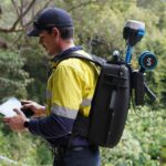
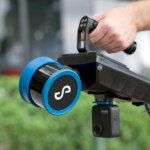
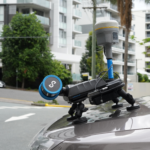
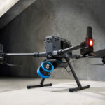
This versatile device is designed for adaptability, functioning seamlessly in diverse environments, even without GPS. It can be mounted on drones for autonomous aerial mapping or used as a handheld, backpack, or vehicle-mounted scanner, facilitating quick as-built and digital twin creation. Built to withstand harsh conditions, the Hovermap ST-X’s robust, lightweight, and weather-sealed design ensures reliable performance in any setting, whether above or below ground, indoors or outdoors.

CAPTURE DETAILED, ACCURATE DATA
A LiDAR sensing range of 300 meters and triple returns that captures more than one million points per second allows you to capture detailed, accurate data over a great area in less time – giving you faster time to insight.
SUB-CENTIMETER INDOOR SCANS
The award-winning Wildcat SLAM solution, Automated Ground Control Points (optional), and improved LiDAR sensor accuracy provides a cleaner, more precise point cloud with 4 to 5 mm accuracy allowing you to obtain more accurate measurements and improved insights.

UNIQUELY VERSATILE
The plug and play design and quick-release mechanism allow easy switching between modes. Use Hovermap as a handheld scanner; attached to a drone, vehicle, or pole; lowered in a cage; or mounted to a backpack to easily collect data anywhere. The compact, lightweight design makes it easy to carry and provides longer flight time.

ROBUST, AUTONOMOUS CAPABILITY
Advanced autonomy and 360 degree Collision Avoidance enables flight and mapping in challenging surroundings, including beyond visual line of sight and communication range, even in GPS-denied environments – providing new, valuable insights while the operator remains in a safe location.
OPTIONS FOR EVERY SCANNING NEED
AUTONOMY LEVELS
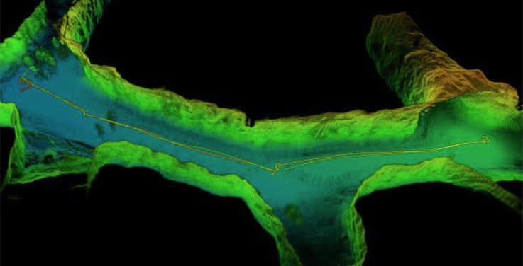
AUTONOMOUS WAYPOINT MODE
Experience hands-free flight with autonomous waypoint mode, which enables beyond visual line-of-sight missions. Define your flight path with just a few taps on the map, and the drone will take over, flying between waypoints, mapping the terrain, and safely avoiding any obstacles in its path.
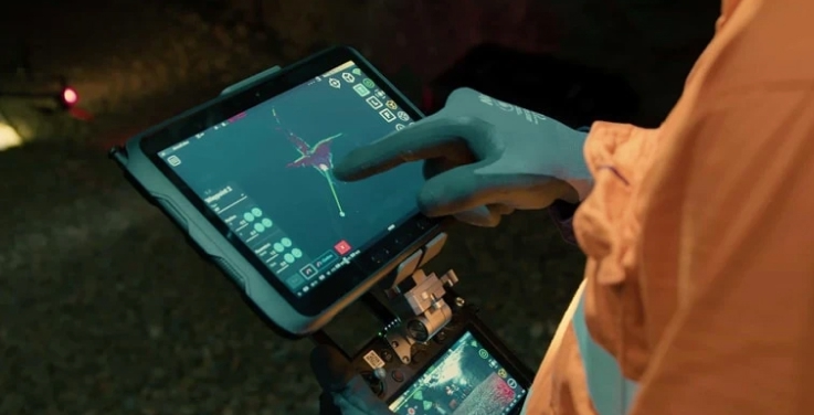
PILOT ASSIST MODE
Get a new level of confidence for challenging inspections with Pilot Assist Mode. It acts like a safety bubble around your drone, using omnidirectional collision avoidance and stability control to keep your equipment and assets safe during tight maneuvers. This mode also lets you fly without a GPS signal, giving you full control in tricky environments. This feature is included in the plus subscription.
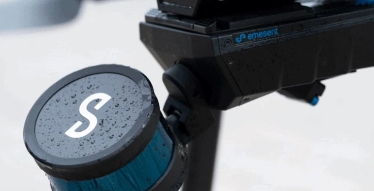
MAPPING MODE
Get flexible scanning with the Mapping mode. It allows for rapid, accurate, and high-resolution mobile scanning in situations where you don’t need drone autonomy. The quick-release mechanism lets you seamlessly switch the scanner from your drone to a handheld setup, a backpack, a vehicle, or even a protective cage for various SLAM-based mobile mapping applications
HOVERMAP™ ST-X SPECIFICATIONS


